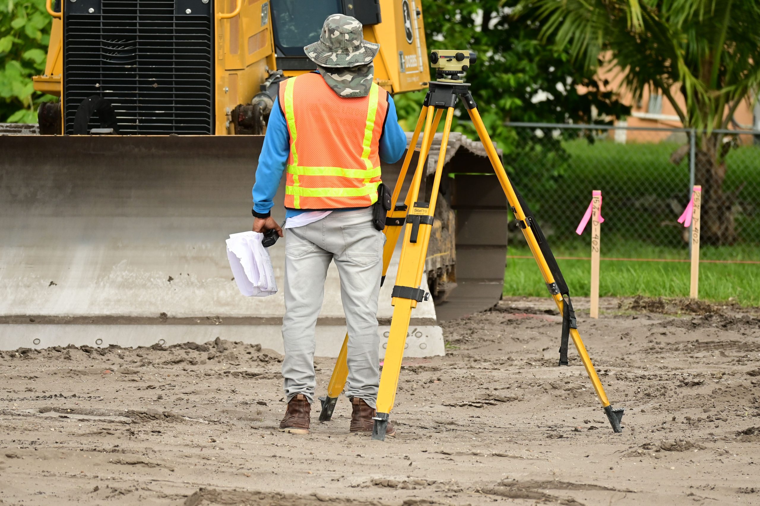
Understanding the Accuracy of Property Surveys Conducted by Ontario Land Surveyors
When purchasing or owning property, boundary accuracy is paramount. Surveys conducted by licensed land surveyors serve as crucial legal references, ensuring clarity in property boundaries. However, questions often arise regarding the reliability and precision of these surveys over time.
Case Illustration: Evaluating Boundary Discrepancies
Consider a scenario where a homeowner’s parents acquired a property a decade ago, with an official survey prepared by an Ontario Land Surveyor (OLS). This survey precisely delineated the boundary lines based on various measurements from structural features. Recently, a neighbor undertook construction work near the boundary, and the homeowner’s measurements indicated that part of the neighbor’s new construction encroached onto their land.
Legal and Surveyor Response
In such cases, it’s common for property owners to share their survey documents with involved parties or legal representatives. When the neighbor’s lawyer sends a notice claiming boundary disputes, a homeowner might provide their official survey as evidence, requesting the neighbor to rectify any encroachment. The neighbor may then consider commissioning a new survey to verify boundary locations.
Likelihood of Boundary Revisions in New Surveys
Given that:
- The original survey was conducted by a licensed professional,
- No significant changes or new constructions have occurred in the past ten years affecting the boundary,
- The property features and boundary markers remain unchanged,
the probability that a new survey will produce substantially different boundary measurements is generally low. Modern surveying techniques, especially those used by Ontario Land Surveyors, provide high precision and reliability.
Factors Influencing Survey Outcomes
While the likelihood of significant discrepancies is minimal, several factors can influence survey results:
- Survey Methodology: Advances in GPS and other measurement technologies can result in minor differences.
- Boundary Marker Changes: If original boundary markers have shifted or been disturbed over time, discrepancies may arise.
- Legal Interpretations: Different surveyors might interpret boundary evidence slightly differently, especially in areas with ambiguous markers.
Conclusion
Ontario Land Surveys are recognized for their accuracy and legal standing. In most cases, a new survey will closely align with previous measurements unless there have been physical changes or discrepancies in boundary markers. For property owners concerned about boundary lines, consulting a licensed land surveyor remains the most reliable approach for clarification and dispute resolution.
If you find yourself in a boundary dispute or planning construction near property lines, consider engaging a professional surveyor to obtain an authoritative and current boundary assessment. This ensures your property rights are protected and can facilitate amicable resolutions with neighbors.